
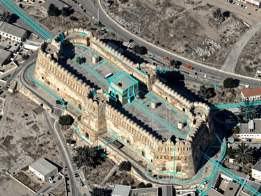
Mapping Iraq's physical infrastructure.
We provide localized spatial intelligence and ground-truth data to help regional government bodies, NGOs, and enterprises modernize local infrastructure and agricultural sectors.
Bridging data and development
We translate complex geospatial datasets into actionable regional growth. By focusing on ground-truth data, we ensure local decision-makers have the precise tools needed to plan infrastructure and secure agriculture.
Our commitment goes beyond analysis. We build regional capacity, transferring complete ownership of geospatial assets and custom software directly to local Iraqi institutions and enterprises.
Engineered for regional impact
Our Erbil-based team combines localized field experience with advanced computational engineering to deliver robust geospatial infrastructure.
GIS & Spatial Analysis
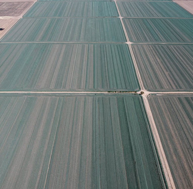
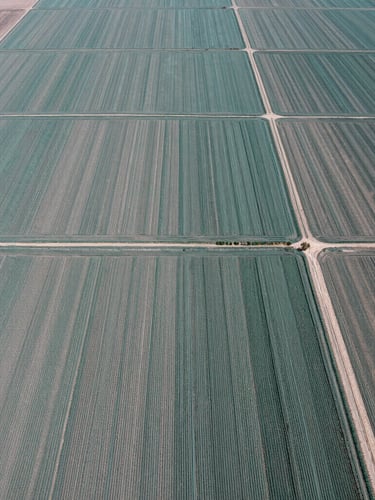
Precision Agriculture
Software Infrastructure
Specialists in satellite imagery processing, cartographic modeling, and regional database management.
Agronomists deploying IoT soil sensors and localized climate analytics to optimize crop yields.
Developers building secure, offline-first mobile and web platforms tailored for local conditions.
Trusted across the region
15+
NGO projects completed
40k+
Hectares mapped
500+
Local professionals trained