Top-down high-resolution satellite mapping of Erbil's circular road grid overlayed with sharp teal cartographic lines, bright daylight, technical aesthetic.
Technical Capabilities

Spatial intelligence for regional development.

We deliver localized geospatial analysis, precision agriculture systems, and custom software tailored to the specific infrastructure demands of the Kurdistan Region and broader Iraq.

Top-down aerial perspective of structured agricultural crop fields in Nineveh with sharp teal GIS vector overlays, bright natural daylight.
Macro shot of a smart agricultural telemetry sensor node installed in an Iraqi soil field, crisp morning daylight, focus on technical hardware.
High-contrast screen-glow shot of a modern geospatial database interface displaying localized Iraqi regional analytics, cool slate and teal tones.
Our Expertise

Localized technical solutions.

Geospatial Solutions

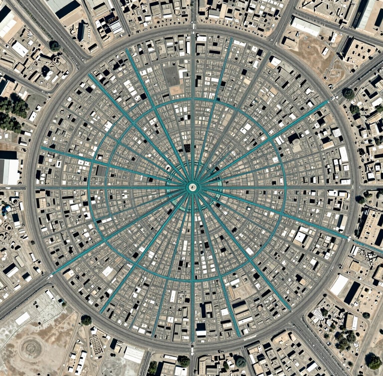
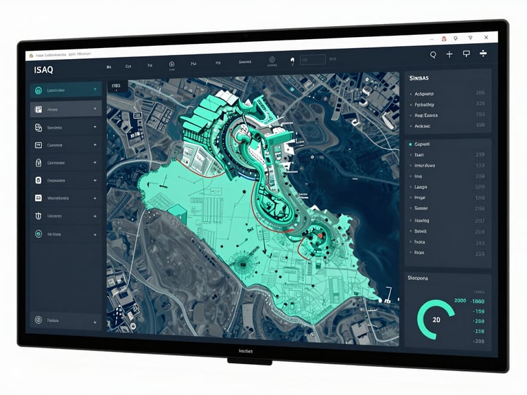
GIS & Geospatial Infrastructure

We construct authoritative spatial databases and map regional infrastructure. Our GIS pipelines process ground-truth data to support municipal planning, utility management, and environmental monitoring across Iraq.

Precision Agriculture

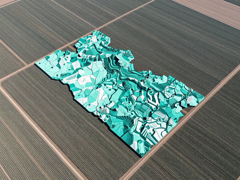
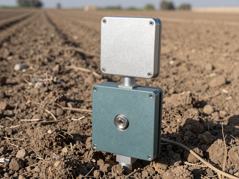
Smart Agriculture Solutions

Deploying localized soil sensors, automated weather telemetry, and satellite vegetation index tracking. We provide agricultural managers with real-time data to optimize irrigation and secure crop yields.

Enterprise Engineering

Custom Software Development

We build dedicated database systems and web applications designed for regional enterprise workflows. Our platforms translate complex field data into clean, actionable dashboards for NGO and corporate directors.

Professional technical training workshop in Erbil, local engineers analyzing cartographic maps on screens, focused neutral office lighting.
Capacity Building

Empowering local operational teams.

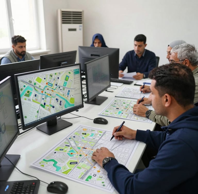
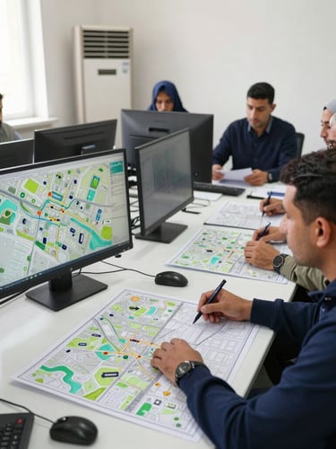
Technology is only as effective as the team operating it. We conduct structured, hands-on training workshops in Erbil, transferring critical geospatial skills directly to government departments and NGO field teams.

Our curriculum covers database administration, field data collection, and GIS software maintenance, ensuring your organization achieves complete long-term operational autonomy.

Deploy spatial intelligence today.

Partner with our Erbil-based engineering team to implement localized GIS, smart agriculture, or custom enterprise software.