Spatial solutions for regional impact.
DataLand IQ delivers structured GIS frameworks and precision data systems to modernize infrastructure, track natural resources, and coordinate development across Iraq.
Precision frameworks by sector.
We deploy specialized spatial intelligence to address the specific operational demands of government bodies, active NGOs, and resource managers in the region.
Municipal Planning
Aid & Impact Tracking
Resource Monitoring
Geospatial infrastructure designed for urban growth, parcel mapping, and utility coordination across Erbil and surrounding governorates.
Localized analytics and ground-truth data pipelines that monitor humanitarian aid distribution, regional demographics, and environmental shifts.
Precision agriculture sensors and remote sensing tools built for rugged regional infrastructure, soil health tracking, and water security.

Active projects in Iraq.
Real-world deployments demonstrating localized spatial intelligence and technical execution under challenging regional conditions.
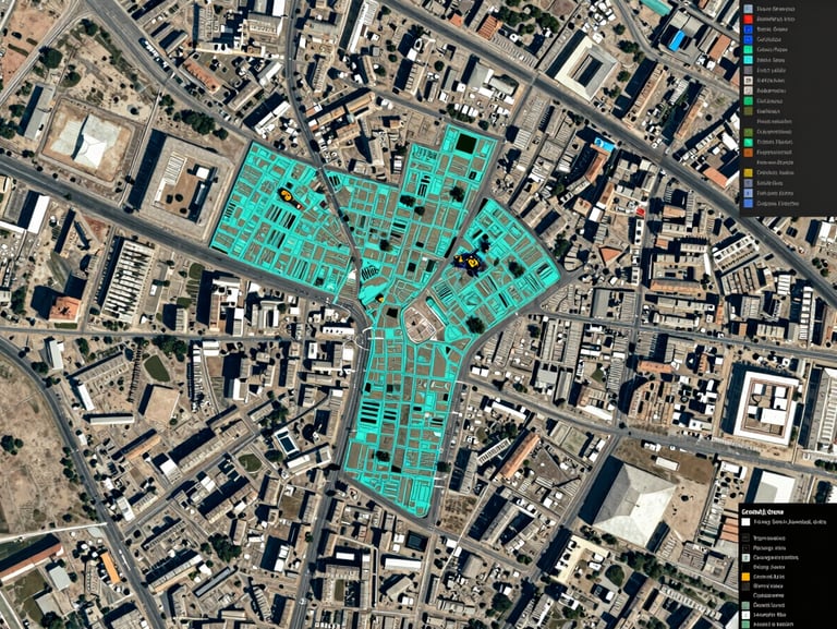
Erbil Urban GIS Modernization
We consolidated legacy municipal records into a unified, high-resolution GIS database. This system now coordinates infrastructure planning, parcel boundaries, and public service allocation for the Erbil Governorate.
1.2M
Parcels mapped
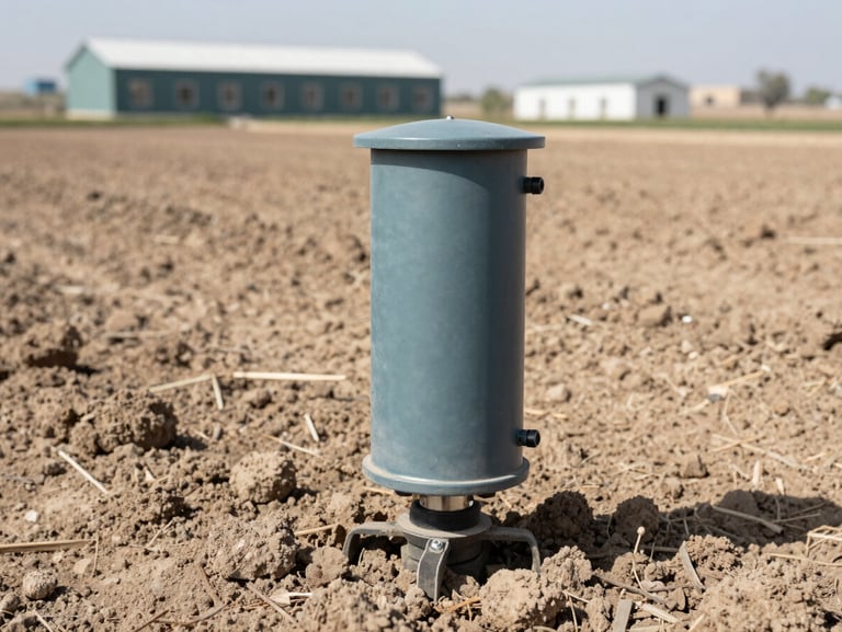
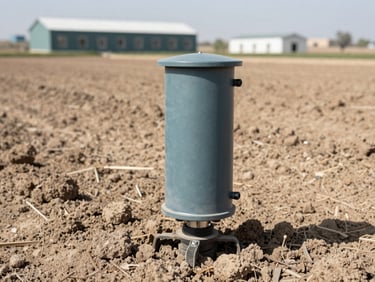
Nineveh Basin Smart Irrigation
Deploying IoT soil sensors and satellite-derived vegetation indices, we enabled local agricultural cooperatives to optimize water allocation, reducing regional crop failure risks during dry seasons.
35%
Water saved
Secure your regional data.
Partner with DataLand IQ to build custom geospatial infrastructure, localized analytics, or smart agricultural systems tailored for Iraq's unique terrain.